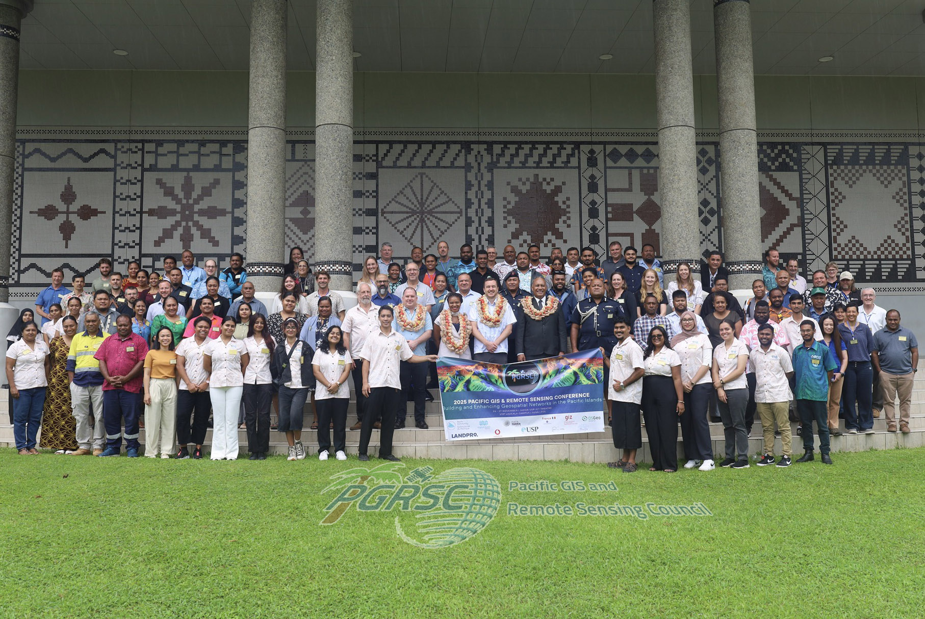
Pacific Islands GIS & Remote Sensing User Conference 2026
The Pacific Islands GIS & Remote Sensing User Conference is the region's annual geospatial gathering, run by the Pacific GIS & Remote Sensing Council (PGRSC) and drawing over 300 attendees a year from national mapping and lands agencies, disaster management offices, universities, regional organisations and the private sector. The 2026 edition is themed 'Strengthening and Expanding Geospatial Networks in the Pacific Islands' and is convened by PGRSC with the University of the South Pacific, UN-SPIDER (the UN Office for Outer Space Affairs) and OSGeo Oceania as organising partners. PGRSC's own venue page now names the host venue as the Japan-USP ICT Hall at the Japan-Pacific ICT Centre on USP's Laucala Campus in Suva, and gives the full conference span as 30 November to 4 December 2026, which extends the single start date previously recorded here. Associated technical workshops are run at the Pacific Community (SPC) Geoscience Division campus in Nabua as well as on the USP campus. Organiser, theme, venue, dates and delegate scale are all confirmed on the council's own conference and venue pages, so the venue is confirmed rather than expected and is now linked to the Japan-Pacific ICT Centre record in this directory; the detailed session programme had not been published as at October 2026.